Watershed Conditions Statement - Flood Outlook
Bracebridge Minden Parry Sound District
Boyne, French, Gull, Pickerel, and Seguin River Watersheds
Thursday, April 03, 2025
2:30pm
The Ministry of Natural Resources – Bracebridge-Minden-Parry Sound District is advising
area residents that a Watershed Conditions Statement - Flood Outlook bulletin is in
effect for portions of the District until Friday, April 11, 2025.
This bulletin will affect residents within the MNR Bracebridge Minden Parry Sound District
for portions of the District of Parry Sound within the Boyne, French, Gull, Magnetawan,
Pickerel, and Seguin River Watersheds.
Please note that a Flood Warning remains in effect for the Black, Burnt, Muskoka and
Severn River Watersheds within the Bracebridge-Minden-Parry Sound District.
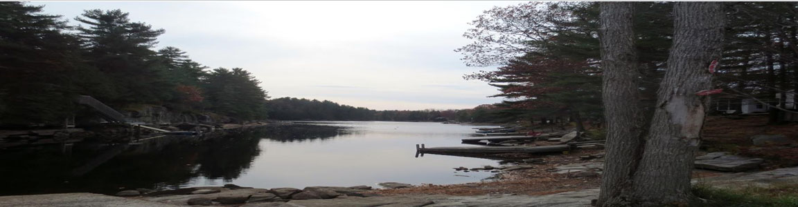
Residents and those visiting the area are advised to be aware of current watershed
conditions. Higher than normal water levels and flow conditions exist throughout the area
and residents are reminded to keep a close watch on weather conditions, regularly check
for updated messages, and exercise caution near fast-moving rivers and streams.
MNR advises residents to exercise extreme caution concerning ice conditions. No ice is
safe ice. High water levels combined with a forecast for high winds has the potential to
damage shoreline infrastructure due to moving ice. MNR also advises extreme caution
when using forest access roads for outdoor activities as many are seasonally inundated
with water, prone to washouts and may be impassible due to current water levels.
Residents and visitors should exercise caution while around waterbodies and maintain
close supervision of children and pets.
Residents that have been affected by high water and flow conditions in the past should
continue take necessary action to protect/secure any vulnerable property in proximity to
rivers and lakes and closely monitor developing conditions and regularly check for updated
messages.
Lower-lying portions of known flood-prone areas may be impacted to various degrees.
Residents that have been affected by high water and flow conditions in the past should
continue take necessary action to protect/secure any vulnerable property in proximity to
rivers and lakes and closely monitor developing conditions and regularly check for updated
messages.
The ministry is closely monitoring the weather and developing watershed conditions.
Further updates will be issued as appropriate.
TECHNICAL INFORMATION
Description of Weather System
Precipitation amounts of up to 10 mm were recorded over the April 2/3 period within these
watersheds.
Temperatures over the next 7 days are expected to remain seasonal with daytime highs up
to +12°C and nighttime lows down to -10°C.
Description of Current Conditions
High water levels and river flows are anticipated in the areas covered by this bulletin. The
melting snowpack within the watersheds is anticipated to contribute to increased runoff as a
result of the recent precipitation and warmer daytime temperatures. Flooding is possible if
additional rainfall is received.
Ice on local lakes and rivers is unsafe and is breaking up. High winds combined with high
water levels have the potential to damage shoreline infrastructure due to moving ice.
DEFINITIONS
• WATERSHED CONDITIONS STATEMENT – WATER SAFETY: indicates that high
flows, melting ice or other factors could be dangerous for such users as boaters,
anglers, and swimmers but flooding is not expected.
• WATERSHED CONDITIONS STATEMENT – FLOOD OUTLOOK: gives early notice
of the potential for flooding based on weather forecasts calling for heavy rain, snow
melt, high winds, or other conditions.
• FLOOD WATCH: potential for flooding exists within specific watercourses and
municipalities.
• FLOOD WARNING: flooding is imminent or occurring within specific watercourses
and municipalities.
LEARN MORE
• Surface Water Monitoring Centre public webpage: www.ontario.ca/page/surface-
water-monitoring-centre
• Environment Canada bulletins: www. weather.gc.ca
• A close watch on local conditions and weather forecasts from Environment Canada
is recommended.
__________________
Flood Warning
Bracebridge-Minden-Parry Sound District
Black, Burnt, Muskoka, and Severn Watersheds
Thursday, April 03, 2025
2:30pm
The Ministry of Natural Resources (MNR) – Bracebridge-Minden-Parry Sound District is
advising area residents that a Flood Warning bulletin is in effect for the Black, Burnt,
Muskoka, and Severn River watersheds in the District until Friday, April 11, 2025.
The Flood Warning will affect residents within the MNR Bracebridge-Minden-Parry Sound
District, which includes portions of the District Municipality of Muskoka, and the County of
Haliburton.
Residents should expect water levels to rise and river flows to increase through the April
5/6 weekend and into the week of April 7-11.
Runoff into local lakes and rivers has increased significantly with recent rainfall, snow melt,
and warm weather.
MNR advises residents to exercise extreme caution concerning ice conditions. No ice is
safe ice. High water levels combined with a forecast for high winds has the potential to
damage shoreline infrastructure due to moving ice. MNR also advises extreme caution
when using forest access roads for outdoor activities as many are seasonally inundated
with water, prone to washouts and may be impassible due to current water levels.
Lower-lying portions of known flood-prone areas will be impacted to varying degrees as
lake and river water levels remain high in response to recent and forecast precipitation and
melting snow in the coming week. Residents and visitors should exercise caution while
around waterbodies and maintain close supervision of children and pets.
Residents that have been affected by high water and flow conditions in the past should
continue take necessary action to protect/secure any vulnerable property in proximity to
rivers and lakes and closely monitor developing conditions and regularly check for updated
messages.
The ministry is closely monitoring the weather and developing watershed conditions.
Further updates will be issued as appropriate.
TECHNICAL INFORMATION
Description of Weather System
Precipitation amounts of up to 40 mm were recorded over the April 2/3 period within these
watersheds.
Temperatures over the next 7 days are expected to remain seasonal with daytime highs up
to +12°C and nighttime lows down to -10°C.
Description of Current Conditions
Lake water levels are rising and river flows are increasing with recent precipitation and
runoff. The melting snowpack within the watersheds is anticipated to contribute to increased
runoff as a result of the recent precipitation and warmer daytime temperatures.
Ice on local lakes and rivers is unsafe and is breaking up. High winds combined with high
water levels have the potential to damage shoreline infrastructure due to moving ice.
DEFINITIONS
• WATERSHED CONDITIONS STATEMENT – WATER SAFETY: indicates that high
flows, melting ice or other factors could be dangerous for such users as boaters,
anglers and swimmers but flooding is not expected.
• WATERSHED CONDITIONS STATEMENT – FLOOD OUTLOOK: gives early notice
of the potential for flooding based on weather forecasts calling for heavy rain, snow
melt, high winds or other conditions
• FLOOD WATCH: potential for flooding exists within specific watercourses and
municipalities
• FLOOD WARNING: flooding is imminent or occurring within specific watercourses
and municipalities.
LEARN MORE
• Surface Water Monitoring Centre public webpage www.ontario.ca/page/surface-
water-monitoring-centre
• Environment Canada bulletins: www. weather.gc.ca
A close watch on local conditions and weather forecasts from Environment and Climate
Change Canada is recommended.